
Books & maps sold
TULLOCH & BROWN, Melbourne, "Map Of The Colony Of Victoria 1856, Comprising Part Of New South Wales, The Boundaries, Counties Also Seaport & Inland Townships, The Gold Fields With The Latest Discoveries, Roads, Tracks, &c. &c Compiled From Drawings In The Survey Office And Correctly Revised Til 1856", steel engraving with contemporary hand-colouring. An extremely rare map. 58 x 84cm sectioned and laid down on linen, 77 x 102cm framed and glazed.
print gold
Attributes read from the catalogue text · provenance below
Estimate
A$2,000–3,000
Realised
A$2,200
Closed 17 Nov 2023, 22:45 View at the house ↗
727-729 High Street, Armadale, VIC 3143
★ Save lot
Sign in to keep this in your watchlist.
The full catalogue description is shown to signed-in users. Sign in or read it at the house's page ↗.
Recent Books & maps results
300 recent Books & maps results in our archive. These are category-level, not exact matches, so read them as a rough guide. The 5 most recent:
- Abbeys Auctions · 21 Aug 2026, 10:00 A$60
- Lawsons · 20 Aug 2026, 14:00 A$80
- Lawsons · 20 Aug 2026, 14:00 A$30
- Lawsons · 20 Aug 2026, 14:00 A$25
- Lawsons · 20 Aug 2026, 14:00 A$30
See all 300 and export them (CSV) with a subscription.
More like this

A FRAMED REPRODUCTION BLAEU WALL MAP
Raffan Kelaher & Thomas
Estimate A$40–60
LEGO STAR WARS GIANT SCENES - DK PUBLISHING
Lloyds Auctions
Estimate No estimate
COLLECTOR ALBUM OF ASSORTED MARVEL COMIC
Lloyds Auctions
Estimate No estimate
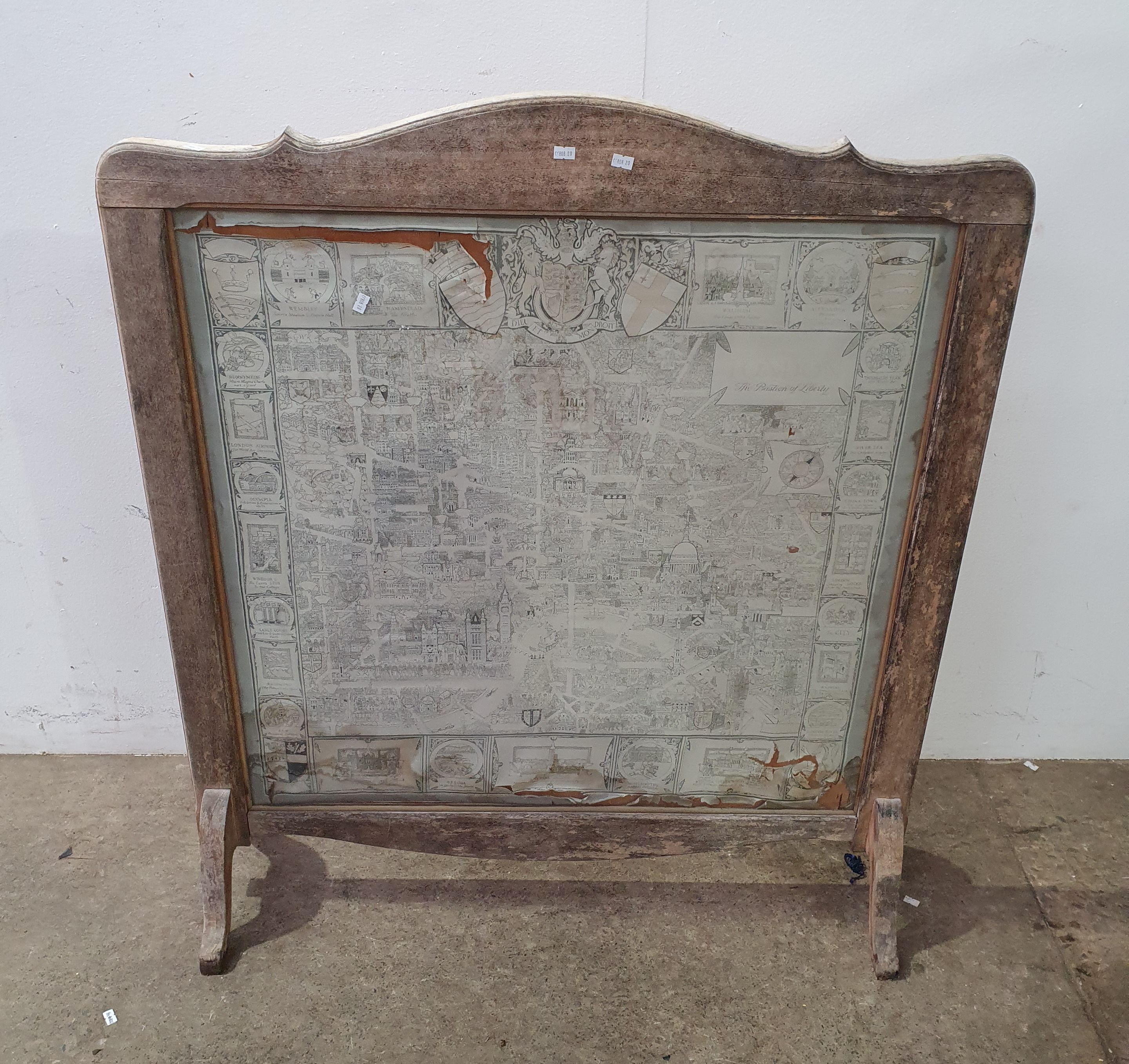
A FRAMED LONDON MAP
Raffan Kelaher & Thomas
Estimate A$20–40

TIMBER FIGURES
Scammell Auctions
Estimate A$5–50

ARCHAEOLOGY
Scammell Auctions
Estimate A$50–100
History
No changes recorded since first indexing.
Provenance
- Source
- Leski Auctions
- First seen
- 22 Aug 2026, 04:05
- Last seen
- 22 Aug 2026, 04:05
- Category
- Books & maps · classified by our model
- Reference
- This page is the durable record · survives the house removing its listing
- Artifact hash
- ab73f6635619 · integrity of the captured page
Estimates and results are Leski Auctions's published figures, reproduced as facts with their source. Lotwatch does not value lots.