
Books & maps sold
Group of late 19th century geological maps, all approx. 51 x 64.5cm, comprising "Ararat Gold Field", "Sandhurst Gold Field" (raised yellow dots indicating gold locations), "Stawell" (gold drifts indicated in yellow), and one depicting Ararat, Langi Logan and surrounds. (4 items)
gold
Attributes read from the catalogue text · provenance below
Estimate
A$250–350
Realised
A$320
Closed 31 May 2026, 12:00 View at the house ↗
727-729 High Street, Armadale, VIC 3143
★ Save lot
Sign in to keep this in your watchlist.
The full catalogue description is shown to signed-in users. Sign in or read it at the house's page ↗.
Recent Books & maps results
300 recent Books & maps results in our archive. These are category-level, not exact matches, so read them as a rough guide. The 5 most recent:
- Lawsons · 1 Oct 2026, 14:00 A$60
- Lawsons · 1 Oct 2026, 14:00 A$30
- Lawsons · 1 Oct 2026, 14:00 A$60
- Lawsons · 1 Oct 2026, 14:00 A$60
- Lawsons · 1 Oct 2026, 14:00 A$45
See all 300 and export them (CSV) with a subscription.
More like this
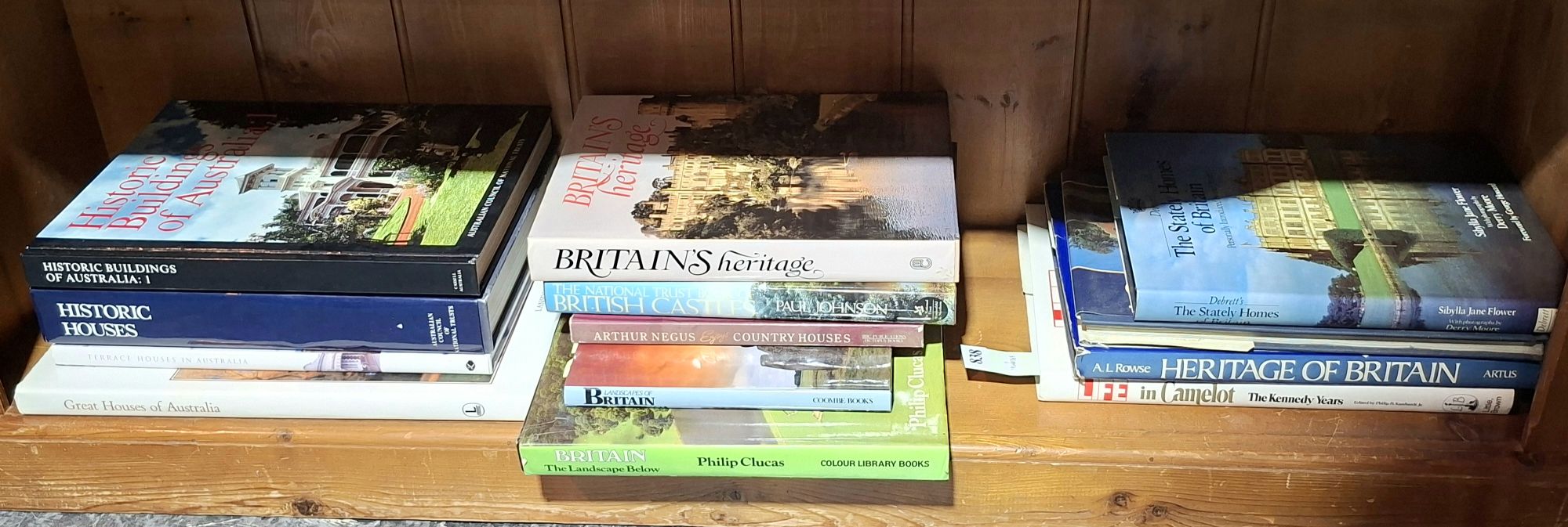
BOOKS - ENGLAND
Small & Whitfield
Estimate A$50–80
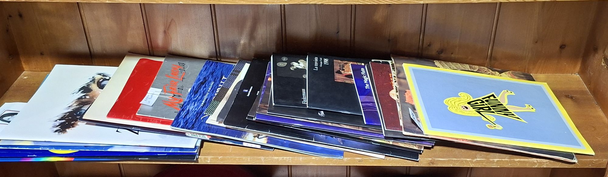
THEATRE PROGRAMMES
Small & Whitfield
Estimate A$30–50
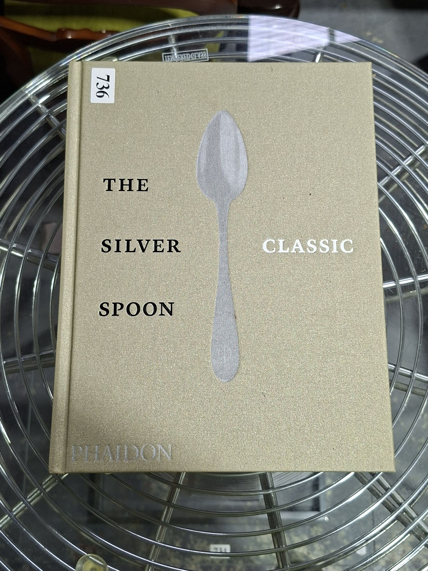
THE SILVER SPOON CLASSIC
Small & Whitfield
Estimate A$40–60
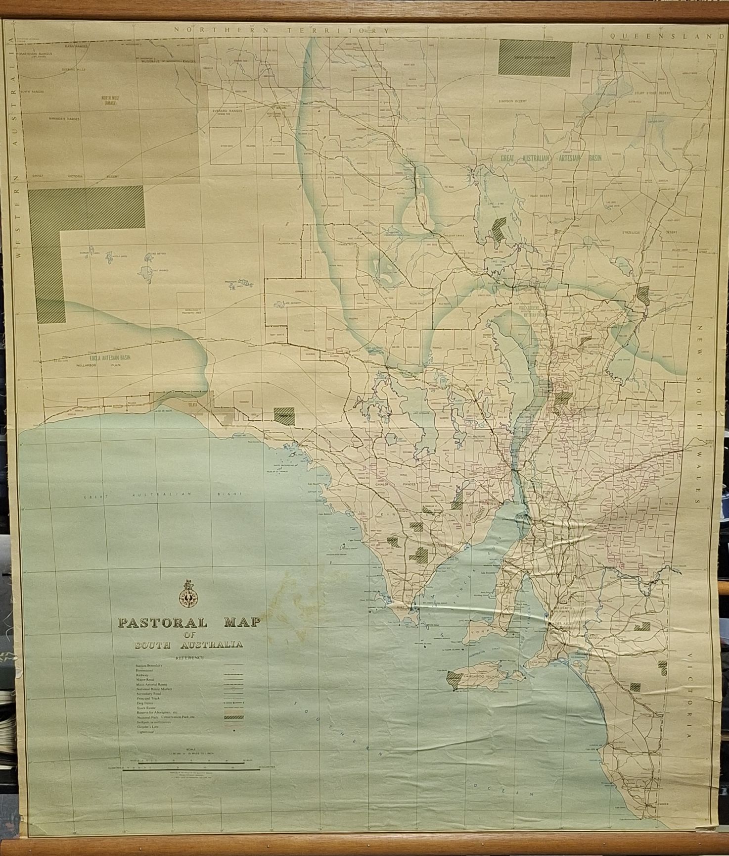
PASTORAL WALL MAP
Small & Whitfield
Estimate A$60–100
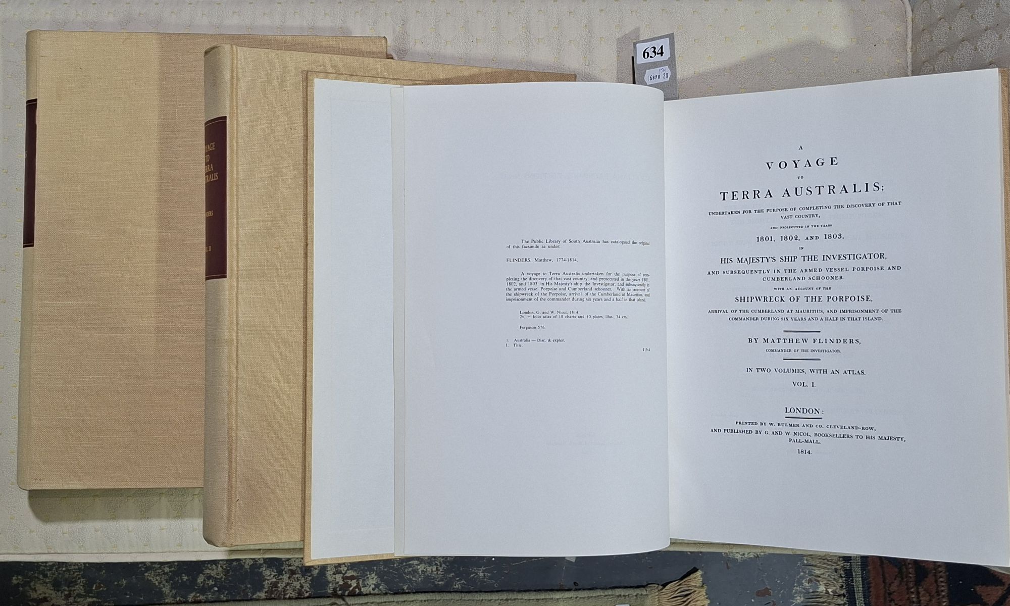
MATTHEW FLINDERS THREE VOLUME SET
Small & Whitfield
Estimate A$300–500
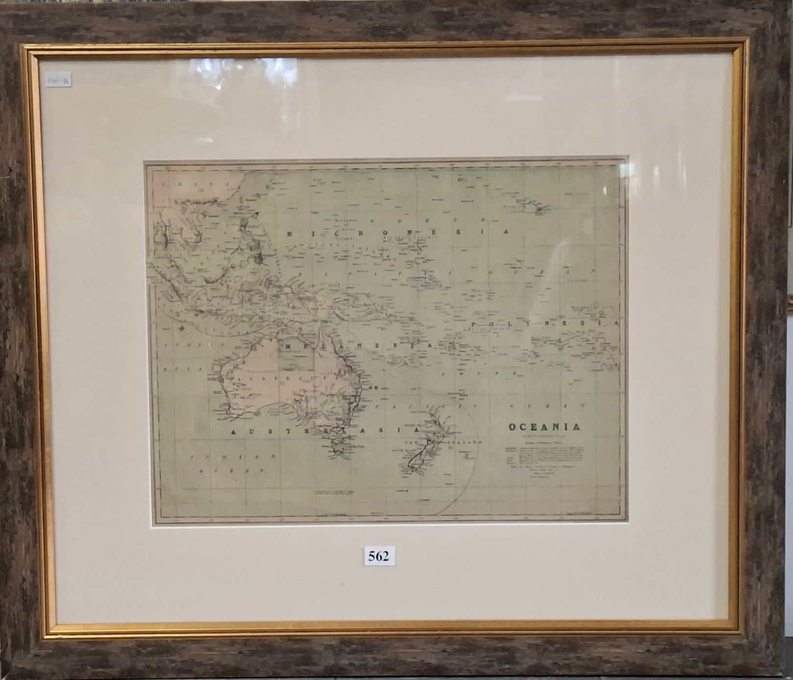
A FRAMED ANTIQUE MAP
Small & Whitfield
Estimate A$40–60
History
No changes recorded since first indexing.
Provenance
- Source
- Leski Auctions
- First seen
- 7 July 2026, 23:05
- Last seen
- 9 July 2026, 06:04
- Category
- Books & maps · classified by our model
- Reference
- This page is the durable record · survives the house removing its listing
- Artifact hash
- 081ef204151a · integrity of the captured page
Estimates and results are Leski Auctions's published figures, reproduced as facts with their source. Lotwatch does not value lots.